FEATURES

See Beyond Surfaces

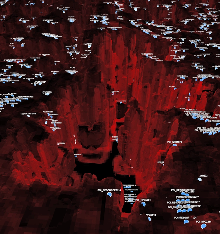
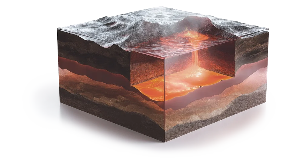
Measure What’s Beneath, Inside, and Beyond

Traditional models stop at the surface. They can show you the shape of the land, the outline of a building, or the path of a road but not what lies underneath. Voxel Space changes that.

By converting data from LiDAR, seismic surveys, drill holes, radar, and IoT sensors into a unified voxel grid, Voxel Space represents every cubic meter of space, not just the outside.

Each voxel is like a container, storing properties such as density, composition, moisture, and structural integrity.

That means you don’t just see a hillside, you can analyze the rock layers beneath it. You don’t just map a city block, you know where utilities, foundations, and groundwater sit below the streets. With Voxel Space, the invisible becomes visible, unlocking insight beneath the surface that surface-only models can never capture.

Start for free today

Key Features

  • Volumetric Data Encoding
    Every voxel stores measurable properties; density, material, moisture, porosity, and more.
  • Subsurface Mapping
    Go beyond terrain and façades. Accurately model geology, utilities, foundations, and underground infrastructure.
  • Precision Measurement
    Calculate volumes, tonnages, and material compositions with unmatched accuracy.
In Essence

Unlock the Full Volume of Space

Voxel Space doesn’t just visualize the outside world, it measures and reveals what’s inside.

With volumetric intelligence, you gain deeper insight, reduce uncertainty, and make decisions rooted in the full reality of space.

Why It Matters

01
Smarter Planning

No more guesswork about what lies beneath. Plan with confidence.

02
Reduced Risk

Identify hidden obstacles, from unstable soil to utility conflicts, before they become costly surprises.

03
Better Decisions

Move from surface approximations to volumetric reality.

Use Cases Across Industries

How Seeing Beyond Surfaces Helps You
Mining

Reveal orebody geometry instead of interpolating between drill holes.

Smart Cities

Detect underground utility conflicts before breaking ground.

Infrastructure

Model soil stability and hidden risks below construction sites.

Security

Monitor subsurface tunnels or hidden voids for threat detection.

Ready to See What’s Beneath the Surface? Request a Demo
Scroll