-
The World Isn’t Just Flat: Why Surface Models Fail and Volumetric Intelligence WinsFor decades, industries have relied on 2D maps and 3D surface models to understand the world.These tools helped us build cities, design mines, and plan infrastructure. But they all suffer from the...
-
How Voxel Space is Powering the Rare Earth RevolutionThe Hidden Elements Shaping the Future They power your smartphone, your EV, your wind turbine, yet most people have never seen them. Rare earth elements (REEs), 17 vital materials including neodymium, dysprosium,...
-
The End of Maps: Why 4D Digital Twins Are Taking OverFor centuries, maps have been humanity’s way of making sense of the world.From ancient parchment charts to today’s interactive 3D models, they’ve guided explorers, engineers, and city planners alike. But here’s the...
-
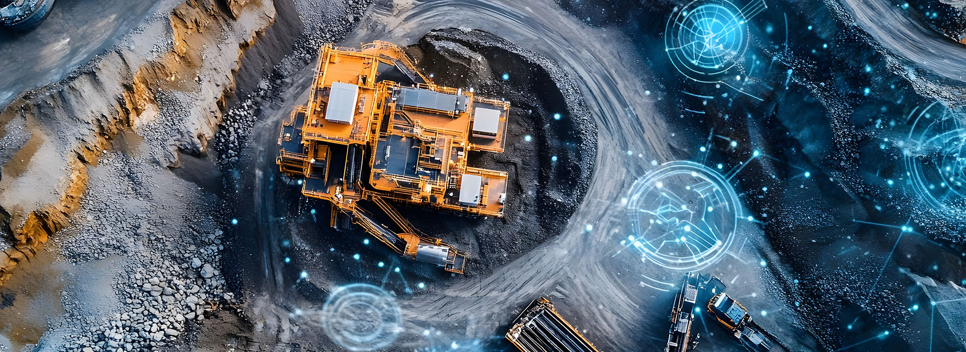
Critical Minerals. Critical Intelligence.How 4D Volumetric Modeling Is Powering the Next Mining RevolutionAs the world races toward electrification and renewable energy, critical minerals: lithium, nickel, cobalt, copper, and rare earth elements have become the backbone...
-
Unlocking Trillions of Voxels: The Power of Spatial LambdaWhen working with volumetric datasets, scale is everything. Mines, cities, and infrastructure projects generate trillions of voxels, each containing critical properties like density, grade, moisture, or stress.Processing this data efficiently, and turning...
-
Time as a Layer: How 4D Spatial Intelligence Changes EverythingIn the world of spatial data, three dimensions have long been the standard.We map the Earth’s surface, model buildings, and simulate underground structures, all in 3D. But there’s one critical dimension that...
-
Why Volumetric Spatial Solutions Are the Future And How Voxel Space Leads the WayIn the era of massive data, traditional 2D maps and surface models are no longer enough.Today’s world runs on complex infrastructure, evolving environments, and real-time monitoring. To truly understand space, we need...
-
The Age of Drones Meets the Power of Voxels: Why Voxel Space is the ultimate aerial intelligence platformThe skies are buzzing with drones.From environmental monitoring and construction surveys to agriculture, real estate, and emergency response, drones have revolutionized how we capture data from above. But capturing data is just...