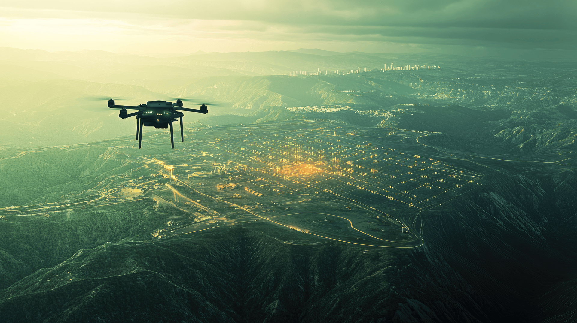
The Age of Drones Meets the Power of Voxels: Why Voxel Space is the ultimate aerial intelligence platform

The skies are buzzing with drones.
From environmental monitoring and construction surveys to agriculture, real estate, and emergency response, drones have revolutionized how we capture data from above. But capturing data is just the beginning.
The real challenge lies in turning this constant stream of aerial imagery, LiDAR scans, and photogrammetry into actionable insights. That’s where Voxel Space comes in.
Why Drones Need a New Kind of Platform
Drones generate massive amounts of spatial data. A single flight can produce gigabytes of high-resolution imagery, 3D models, and terrain scans. Multiply that by dozens of flights a week, often across multiple locations, and suddenly you're looking at a big data problem.
Traditional tools struggle to keep up. File-based systems become chaotic. Rendering large areas in 3D becomes sluggish. Collaborating across teams, especially remotely, gets complicated.
Voxel Space solves these problems by offering an end-to-end spatial computing platform designed for the scale, speed, and complexity of drone-era data.
Voxel Space + Drones = Aerial Data, Grounded Insights
1. Centralized Data, No More File Juggling
Instead of sorting through folders of raw captures and model exports, Voxel Space centralizes drone-derived datasets in a living, versioned data environment. Whether it’s point clouds, orthophotos, or volumetric terrain, everything is synced, stored, and accessible from a single source of truth.
2. Real-Time Visualization from the Cloud
Need to check on a site 3,000 miles away? Voxel Space streams full-resolution 3D models directly to your browser, tablet, or headset. No installs. No downloads. Just scroll, zoom, and fly through your data like you were there in person.
3. Time-Aware Terrain Monitoring
Every drone flight is a snapshot in time. Voxel Space links those snapshots together into a temporal model, letting you compare changes across days, weeks, or years, perfect for tracking erosion, progress, deforestation, or urban expansion.
4. Run Calculations at Drone Speed
Voxel Space’s parallel processing engine allows you to run simulations, measurements, and visualizations across drone data at scale. From volumetric cut-and-fill calculations to heat maps and automated annotations, it’s all computed in the cloud, fast and on demand.
5. Collaboration in the Field or Office
Whether you're on a construction site or in an urban planning office, Voxel Space makes sharing 3D models as easy as sending a link. Field crews, analysts, and stakeholders can comment, annotate, and update models in real time.
Use Cases That Soar
- Construction: Monitor site progress with time-lapse 3D models and coordinate with contractors using visual reports.
- Environmental Monitoring: Track coastline shifts, illegal deforestation, or wildfire impact from recurring drone scans.
- Agriculture: Visualize crop health in 3D and correlate drone NDVI imagery with soil data.
- Disaster Response: Rapidly deploy drones, upload data, and generate situational awareness maps in minutes.
- Mining & Infrastructure: Convert drone flyovers into volumetric terrain models for excavation planning and asset tracking.
The Future Is Aerial, and Voxel-Aware
As drones become smarter and more autonomous, the data they collect will only increase in volume and value. But that value is only unlocked when the data is organized, visualized, and analyzed efficiently.
Voxel Space is not just compatible with drone workflows, it was practically built for them. Fast, cloud-native, voxel-powered, and team-ready.
Ready to Elevate Your Drone Data?
Turn flyovers into foresight.
-
The End of Maps: Why 4D Digital Twins Are Taking Over
For centuries, maps have been humanity’s way of making sense of the world.From ancient parchment charts to today’s...
October 23, 2025By Voxel Space -
Inside the Cube: What Makes Each Voxel a Data Powerhouse
When most people think of 3D models, they imagine surfaces, pretty meshes and contours that capture what things...
September 10, 2025By VoxelSpace -
How Voxel Space is Powering the Rare Earth Revolution
The Hidden Elements Shaping the Future They power your smartphone, your EV, your wind turbine, yet most people...
November 3, 2025By Voxel Space


