HIDDEN Visualizing Change Over Time: How to Track Terrain and Volume Shifts in 3D with Voxel Space

In industries like mining, construction, and environmental restoration, understanding how the terrain changes over time is essential.
Traditional methods rely on comparing 2D survey maps or generating static elevation profiles, but these approaches often miss the spatial depth and context of 3D change.
With Voxel Space, you can visualize and quantify terrain changes across time using volumetric datasets and powerful built-in tools like cross-sections, volume difference reports, and layered Views. This post walks you through how it works—and how your team can gain real insights from it.
Step 1: Import Your Spatial Datasets
Start by uploading your baseline and comparison datasets—typically point clouds, voxel terrains, or block models—from different capture dates.
For example:
Baseline terrain scan from January
Updated terrain captured in June
Voxel Space supports LAS, LAZ, ASCII, and heightmap formats. Once indexed or voxelized, these can be used for precise, point-to-point comparison.
Step 2: Create a View and Add Layers
Go to the Views section of your project and create a new View. Use the “Add Layer” tool to load both datasets into the same 3D environment.
You’ll now be able to:
Overlay datasets with transparency or color-coded values
Visually compare elevation differences or material displacement
Use the Cross-section tool to slice through both layers and observe subsurface shifts
This gives an immediate, visual sense of where change has occurred—ideal for spot-checking erosion, excavation, or fill zones.
Step 3: Run a Volume Difference Report
For detailed, quantitative analysis, use the Report tool to generate a Volume Difference Report. Here's how:
- Navigate to the Reports section in the left menu
- Choose your project and select “Volume Difference”
- Define the region of interest (using a pre-defined or custom region)
- Select the two datasets to compare
- Run the report to generate volume change statistics
You’ll get:
- Cubic meters of material added or removed
- Color maps highlighting change magnitude
- Downloadable CSV results for documentation or external analysis
Step 4: Export and Share the Results
Voxel Space allows you to export both the visual output (as imagery or 3D scene) and the raw report data (in CSV or TIF formats). This makes it easy to:
- Present findings to stakeholders
- Feed data into external GIS or engineering systems
- Archive snapshots for regulatory compliance
You can even embed Views into dashboards or create new Views highlighting only areas of significant change.
- Use Cases
- Mining operations: Monitor pit deepening, tailings growth, and material movement
- Construction: Track excavation progress or compare as-built terrain with design specs
- Environmental restoration: Measure erosion, sediment displacement, or topographic recovery over time
- Urban development: Analyze cut-and-fill during grading and roadwork
Final Thoughts
Voxel Space makes it possible to move beyond static comparisons and embrace a real-time, immersive approach to spatial change detection. Whether you’re analyzing terrain shifts, validating project progress, or managing compliance, visualizing change in 3D adds accuracy, clarity, and confidence.
Ready to get started?
-
Getting Started with Voxel Space: Your First 3D Project
Voxel Space is designed to make complex spatial data intuitive, visual, and actionable.Whether you're working with point clouds,...
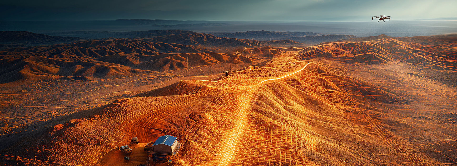
June 5, 2025By Voxel Space -
From LiDAR Scan to Volumetric Model in Under an Hour
LiDAR scanning has become a game-changer for capturing real-world environments in incredible detail.But for many professionals, the challenge...
August 15, 2025By VoxelSpace -
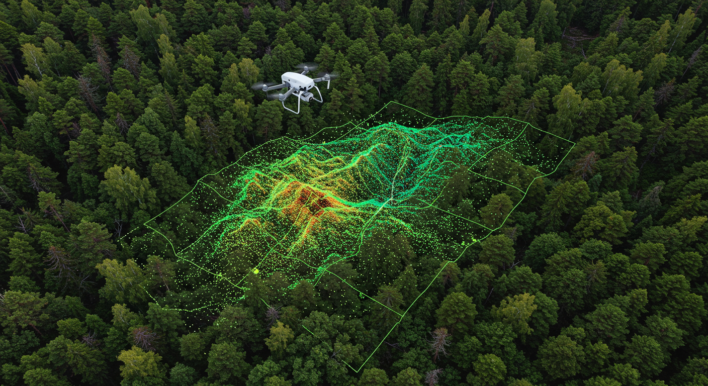
Tracking Change Over Time: Using Time-Aware 3D Models
In industries where landscapes, infrastructure, or operations evolve daily, seeing what has changed and when is critical.Whether it’s...
August 15, 2025By VoxelSpace