From LiDAR Scan to Volumetric Model in Under an Hour

LiDAR scanning has become a game-changer for capturing real-world environments in incredible detail.
But for many professionals, the challenge begins after the scan—turning that massive point cloud into something usable for planning, simulation, or visualization.
That’s where Voxel Space comes in. With our streamlined, cloud-based pipeline, you can go from raw LiDAR data to a fully interactive volumetric model in under 60 minutes.
Step 1: Prepare Your LiDAR Data
Before uploading, ensure your scan is clean and properly formatted. Voxel Space supports:
- .LAS / .LAZ for airborne or terrestrial LiDAR
- .E57 for terrestrial laser scanning (TLS)
- .PLY and .XYZ for point cloud exports from photogrammetry
A quick pass through your preferred cleaning software to remove noise, redundant points, or outliers will save time and improve the model quality.
Step 2: Upload to Voxel Space
Log into your Voxel Space account and simply drag-and-drop your dataset into the project workspace. Our cloud engine automatically:
- Detects coordinate systems and georeferences
- Handles massive datasets without local hardware strain
- Begins voxelizing in parallel for rapid turnaround
Step 3: Automatic Voxelization
Once uploaded, Voxel Space converts your point cloud into a true volumetric model, not just a mesh. This process preserves:
- Surface geometry for visual accuracy
- Subsurface layering if multiple returns or integrated datasets are available
- Material attributes such as reflectance or classification tags
Voxelization parameters, like resolution and bounding extents, can be adjusted for your project’s needs.
Step 4: Add Contextual Layers
Enhance your volumetric model by importing additional spatial data:
- Terrain maps for broader context
- Utility lines for infrastructure modeling
- Geotechnical or geological layers for engineering analysis
Because everything exists in the same voxel space, there’s no need to manually align datasets, they’re already registered and scaled.
Step 5: Visualize & Share
Once your model is ready, explore it directly in your browser, no heavy local software required. Use built-in tools to:
- Slice through terrain in any direction
- Measure volumes, distances, and areas
- Simulate change over time by overlaying multiple scans
- Export subsets to formats compatible with CAD, GIS, or 3D engines
With a single link, stakeholders can view and interact with the model from anywhere, securely and in real-time.
Why This Matters
Traditional point cloud processing can take days, tying up workstations and requiring complex workflows. Voxel Space reduces that to under an hour, giving you the ability to act on fresh scan data almost immediately, critical for industries like mining, construction, security, and environmental monitoring.
Tip: Try combining LiDAR scans with photogrammetry for rich, photorealistic textures over volumetric data. The result? A model that’s both accurate and visually compelling.
-
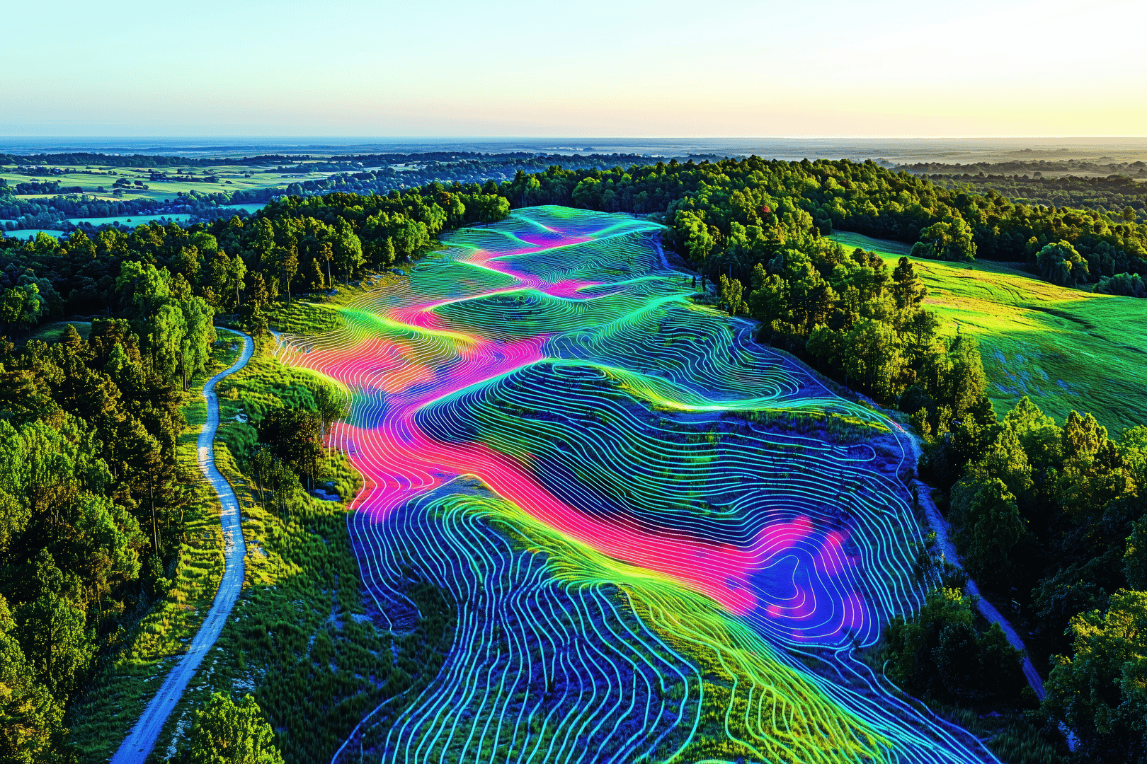
Tracking Change Over Time: Using Time-Aware 3D Models
In industries where landscapes, infrastructure, or operations evolve daily, seeing what has changed and when is critical.Whether it’s...
August 15, 2025By VoxelSpace -
HIDDEN Visualizing Change Over Time: How to Track Terrain and Volume Shifts in 3D with Voxel Space
In industries like mining, construction, and environmental restoration, understanding how the terrain changes over time is essential. Traditional methods...
August 6, 2025By VoxelSpace -
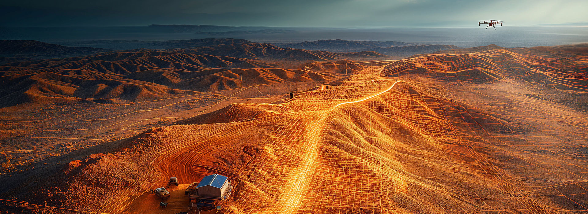
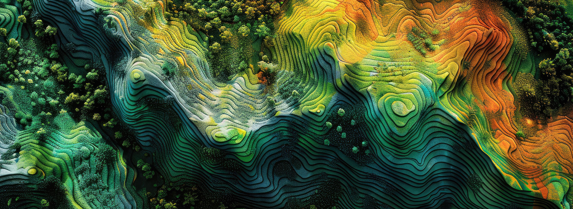
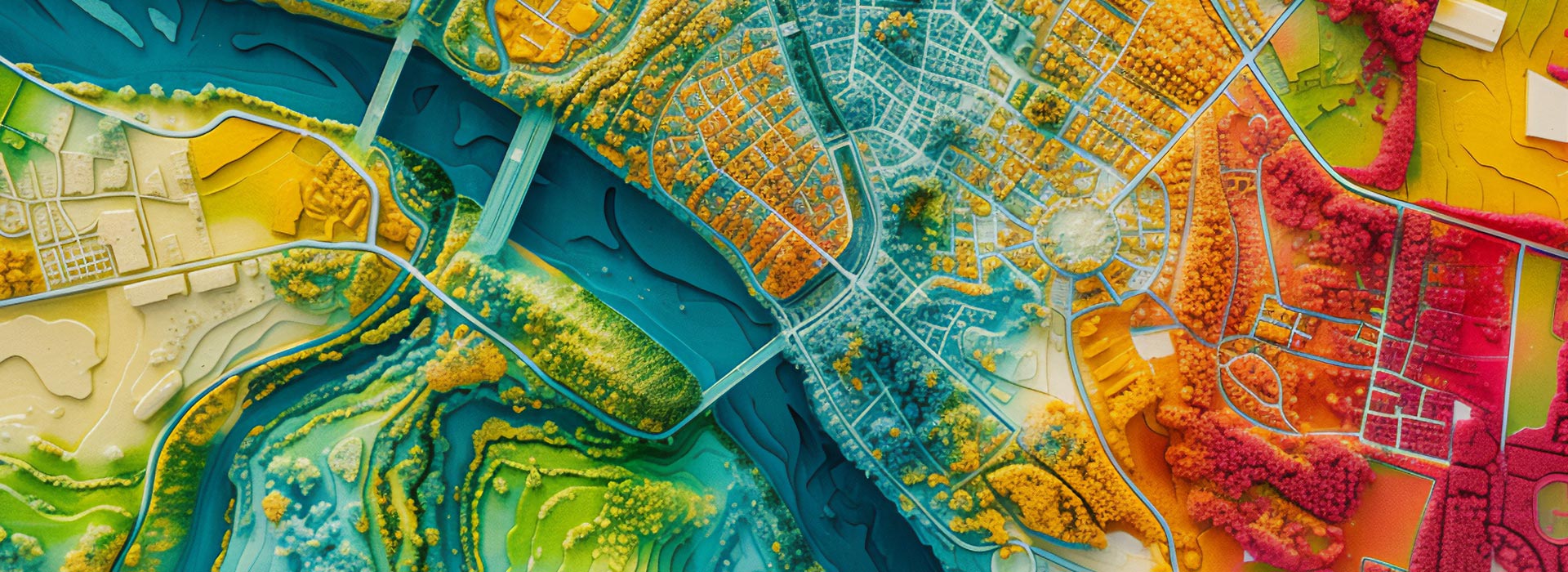
Getting Started with Voxel Space: Your First 3D Project
Voxel Space is designed to make complex spatial data intuitive, visual, and actionable.Whether you're working with point clouds,...
June 5, 2025By Voxel Space