Why Volumetric Spatial Solutions Are the Future And How Voxel Space Leads the Way

In the era of massive data, traditional 2D maps and surface models are no longer enough.
Today’s world runs on complex infrastructure, evolving environments, and real-time monitoring. To truly understand space, we need to capture and compute what’s inside it, not just what’s on top.
That’s where volumetric spatial solutions come in. And Voxel Space is at the forefront of this transformation.
What Does “Volumetric” Really Mean?
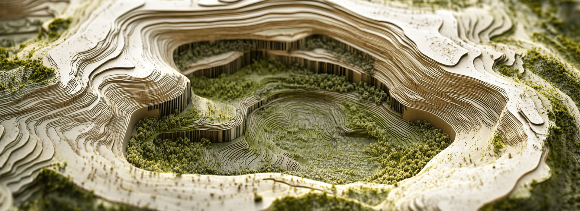
In simple terms, volumetric modeling means representing 3D space as a volume rather than just a surface. Instead of just tracking elevations or outlines, you model the entire body of the environment, down to every layer, structure, and void within. Think:
- Subsurface geology, not just terrain.
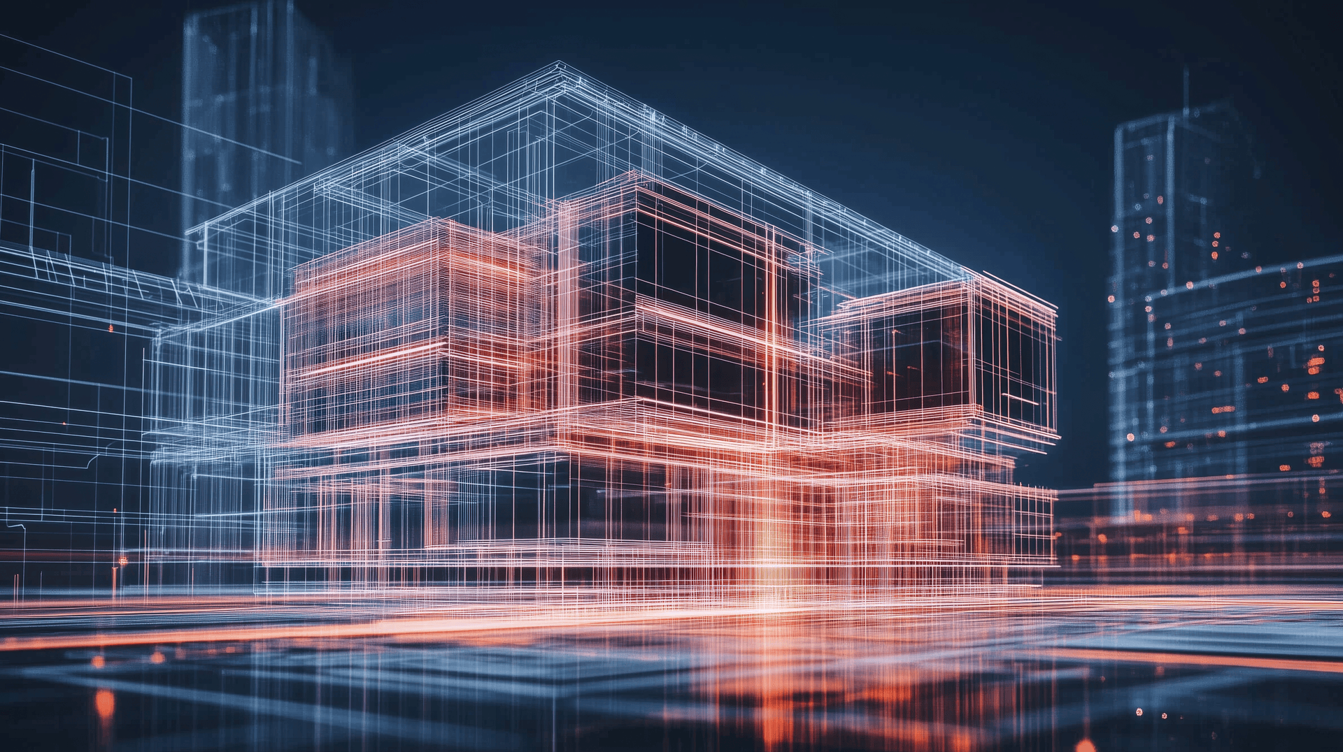
- Building interiors, not just footprints.
- Evolving physical changes, not just snapshots in time.
In volumetric systems, space is built from voxels, 3D pixels that hold information about every cube of space. Each voxel can store density, material type, temporal data, and more.
This unlocks a new dimension of insight.
Why Volumetric Matters Now More Than Ever
Whether you’re managing a mine site, simulating infrastructure, or scanning coastlines with drones, volumetric data gives you answers you can’t get from flat surfaces:
- Track Change Over Time: Voxel models allow you to embed time as a dimension, showing how terrain erodes, cities grow, or construction progresses.
- Model What’s Hidden: See inside hills, under roads, or beneath buildings. This is critical for geology, utilities, or environmental planning.
- Analyze at Full Resolution: Preserve sub-meter, or even sub-millimeter, detail across massive datasets. No downsampling, no compromise.
How Voxel Space Makes It Happen
Voxel Space was built from the ground up as a volumetric-first spatial engine. Instead of treating space as a surface, we treat it as a living, breathing volume.
Here’s how:
True 3D Data Storage
Every dataset, LiDAR, drill holes, photogrammetry, or CAD, is voxelized into a unified spatial framework. This enables direct computation on full-resolution 3D models, not just simplified versions.
Time-Aware Voxel Models
Voxel Space lets you embed temporal logic into your models. Need to compare scans from last week and last year? Just slide through time and analyze the change, without duplicating files or losing context.
Real-Time, Cross-Platform Visualization
With advanced streaming and compression, you can interact with volumetric scenes in the browser, on tablets, or in AR/VR. From exploration to inspection, it all happens in real time.
Serverless Spatial Processing
Voxel Space runs high-volume computation through spatial lambdas across thousands of cores. That means you can simulate, report, or analyze huge voxel volumes, in minutes, not days.
Real Use Cases in Action
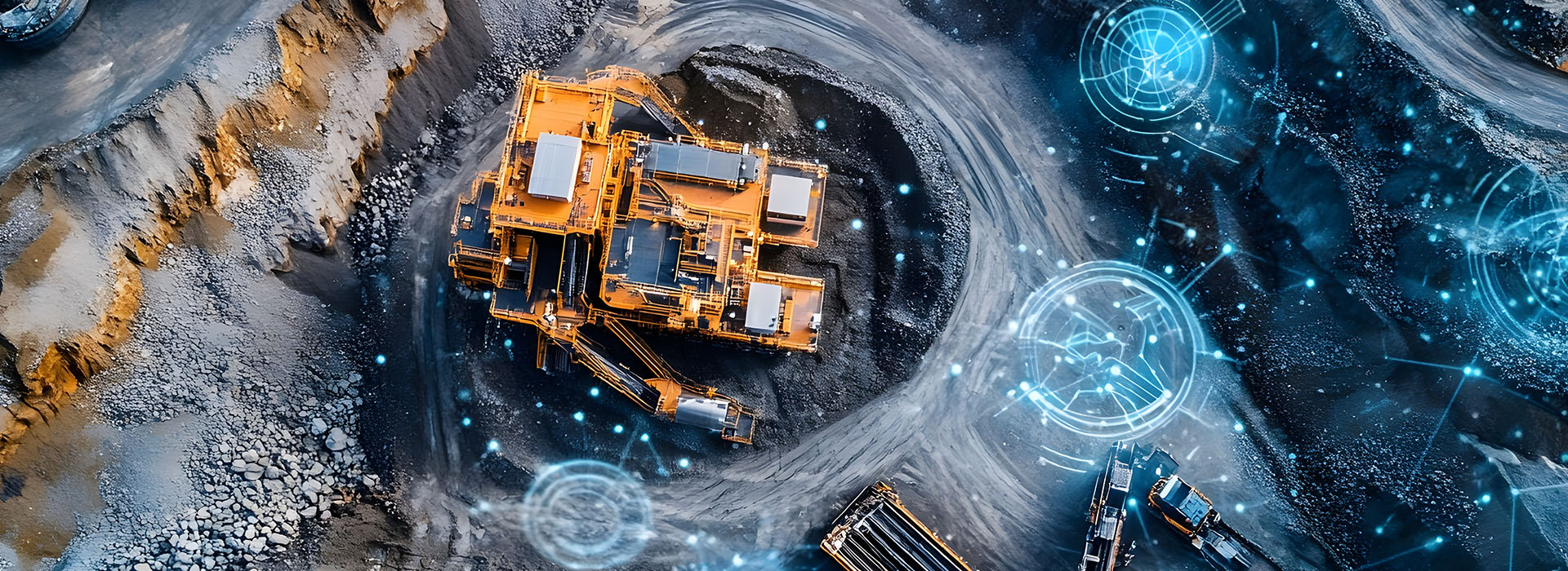
- Mining: Track pit progression, plan blast zones, and simulate subsurface stability.
- Infrastructure: Monitor deformation in tunnels, dams, or roads over time.
- Environment: Model floodplains, erosion zones, and post-disaster terrain changes.
- Gaming & Virtual Worlds: Build dynamic voxel worlds that deform, evolve, and respond in real time.
The Takeaway
The future of spatial intelligence is volumetric. It's not about looking at the world, it's about being inside it, understanding its depth, history, and potential.
Voxel Space doesn’t just visualize reality. It voxelizes it, turning complex, evolving datasets into powerful, interactive volumes that drive real decisions.
Ready to experience the power of volumetric space?
-
Inside the Cube: What Makes Each Voxel a Data Powerhouse
When most people think of 3D models, they imagine surfaces, pretty meshes and contours that capture what things...
September 10, 2025By VoxelSpace -
How Voxel Space is Powering the Rare Earth Revolution
The Hidden Elements Shaping the Future They power your smartphone, your EV, your wind turbine, yet most people...
November 3, 2025By Voxel Space -
Volumetric Spatial Intelligence Explained
Why Traditional Maps and Models Fall ShortTraditional maps and 3D models are surficial. They capture the outside of...
September 10, 2025By Voxel Space


