Getting Started with Voxel Space: Your First 3D Project
June 5, 2025
Getting Started with Voxel Space: Your First 3D Project
-
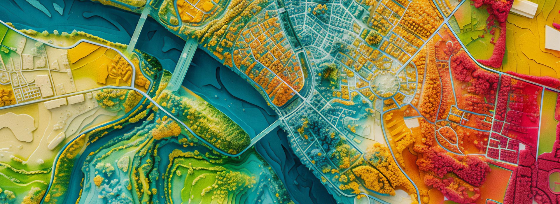
From LiDAR Scan to Volumetric Model in Minutes
LiDAR scanning has become a game-changer for capturing real-world environments in incredible detail.But for many professionals, the challenge...
-
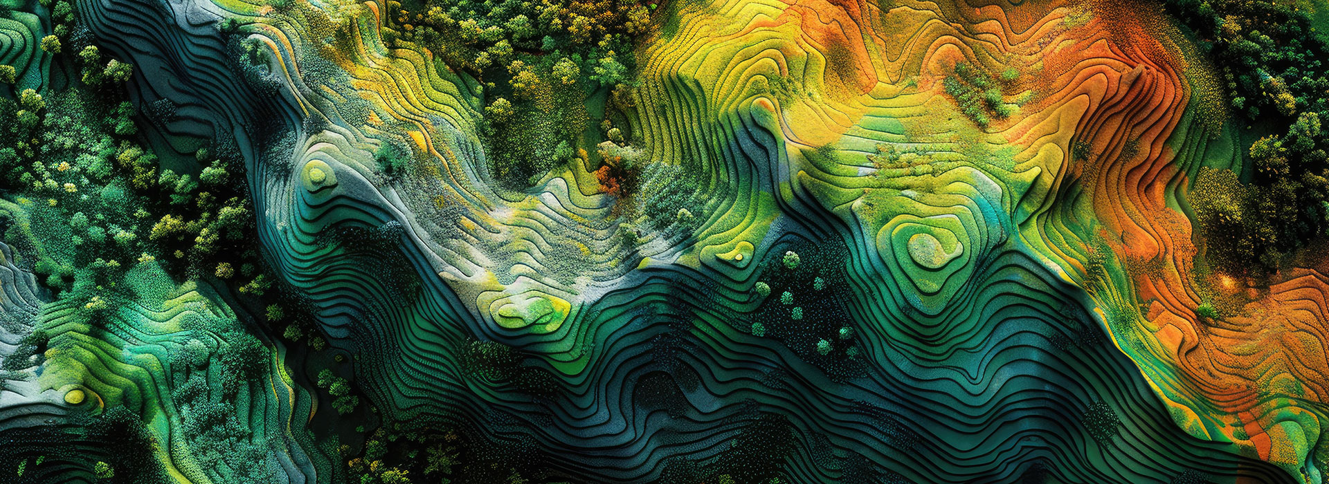
HIDDEN Visualizing Change Over Time: How to Track Terrain and Volume Shifts in 3D with Voxel Space
In industries like mining, construction, and environmental restoration, understanding how the terrain changes over time is essential. Traditional methods...
-
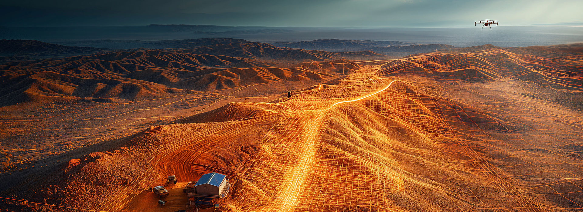
Tracking Change Over Time: Using Time-Aware 3D Models
In industries where landscapes, infrastructure, or operations evolve daily, seeing what has changed and when is critical.Whether it’s...